Superior Aerial Solutions

Today's modern drones are a game changer for Aerial Videography,
Photography, GeoMatics, Mapping. Let Superior Aerial Solutions show
you how we can help you with your Aerial needs. We leverage new
technologies to constantly push the boundaries of what's possible.

THE SKY IS THE LIMIT

THE STORY BEHIND
SUPERIOR AERIAL SOLUTIONS

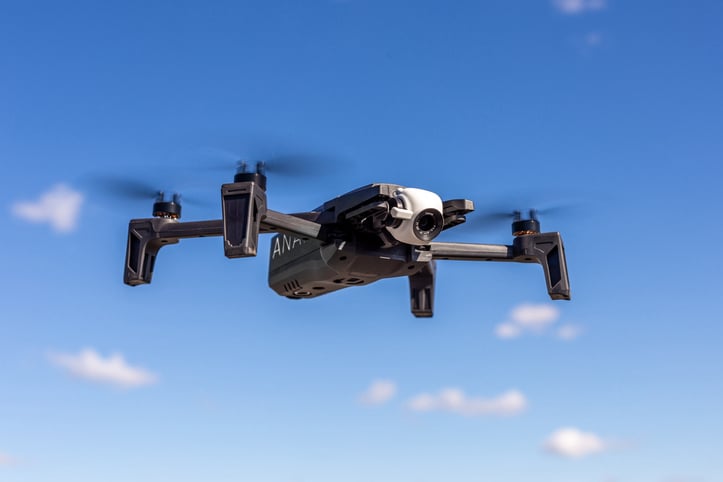
We are a Canadian based company, in Ontario providing various drone based services such as video, photography, 3D geo-mapping, for businesses, all level of governments, and individuals alike. 
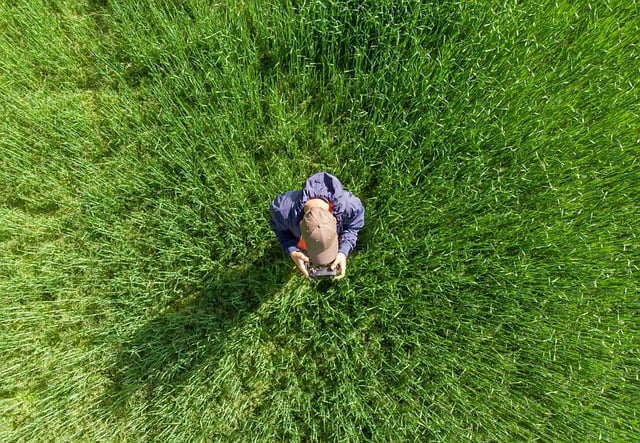
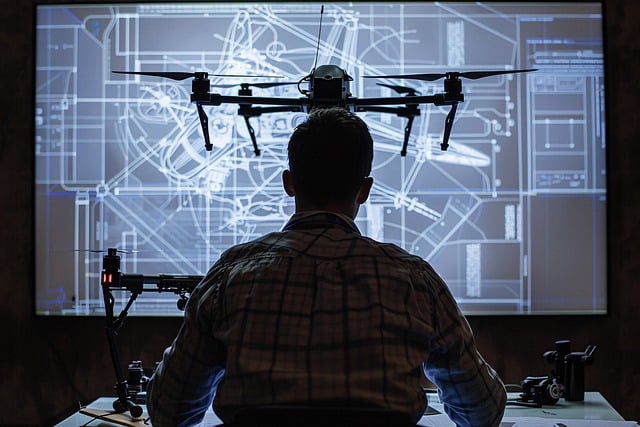
Depending on your needs, you can see from above, aerial landscape, real estate, aerial inspections, GPS 3D mapping, aerial photography. We have worked in several industries including engineering, construction, customer relations, project management, surveying, and more. Whatever your needs, we can help!

WHAT WE DO

A WHOLE NEW ANGLE AVAILABE FOR YOUR PICTIURES AND VIDEOS

Superior Aerial Solutions

Drone based Videography

Delivers a dynamic, aerial vantage point through sweeping cinematic footage—ideal for capturing landscapes, events, real estate, and beyond.

Superior Aerial Solutions

Aerial Photography

capture breathtaking, high-resolution images from above—offering unique perspectives that showcase landscapes, architecture, and events like never before. It’s where creativity meets altitude.

Superior Aerial Solutions

Aerial GPS Mapping

Combine high-resolution drone imagery with geospatial technology to create accurate, interactive 3D maps of terrain, property, or infrastructure. It’s precision mapping—elevated.